Sandy Valley
Drone Services
Licensed aerial drone service provider in Sandy Valley, Nevada, performing real estate photography, property inspections, roof inspections, insurance inspections, animal observations, accident response, 3D mapping, and search & rescue operations.
Real Estate Photography Pricing
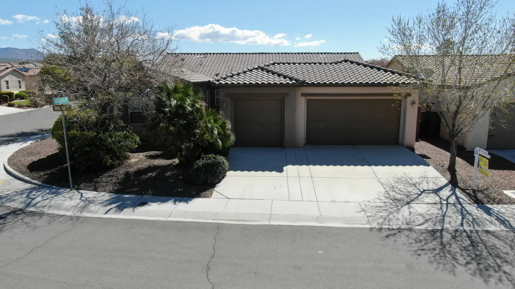
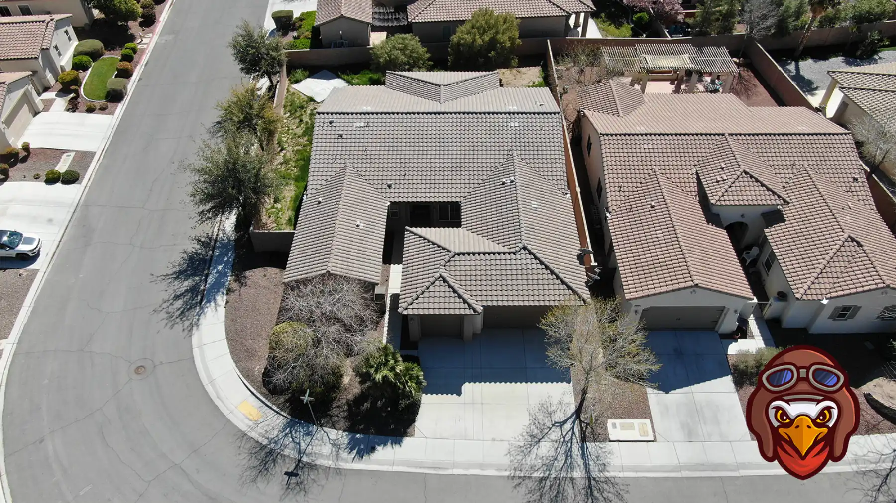
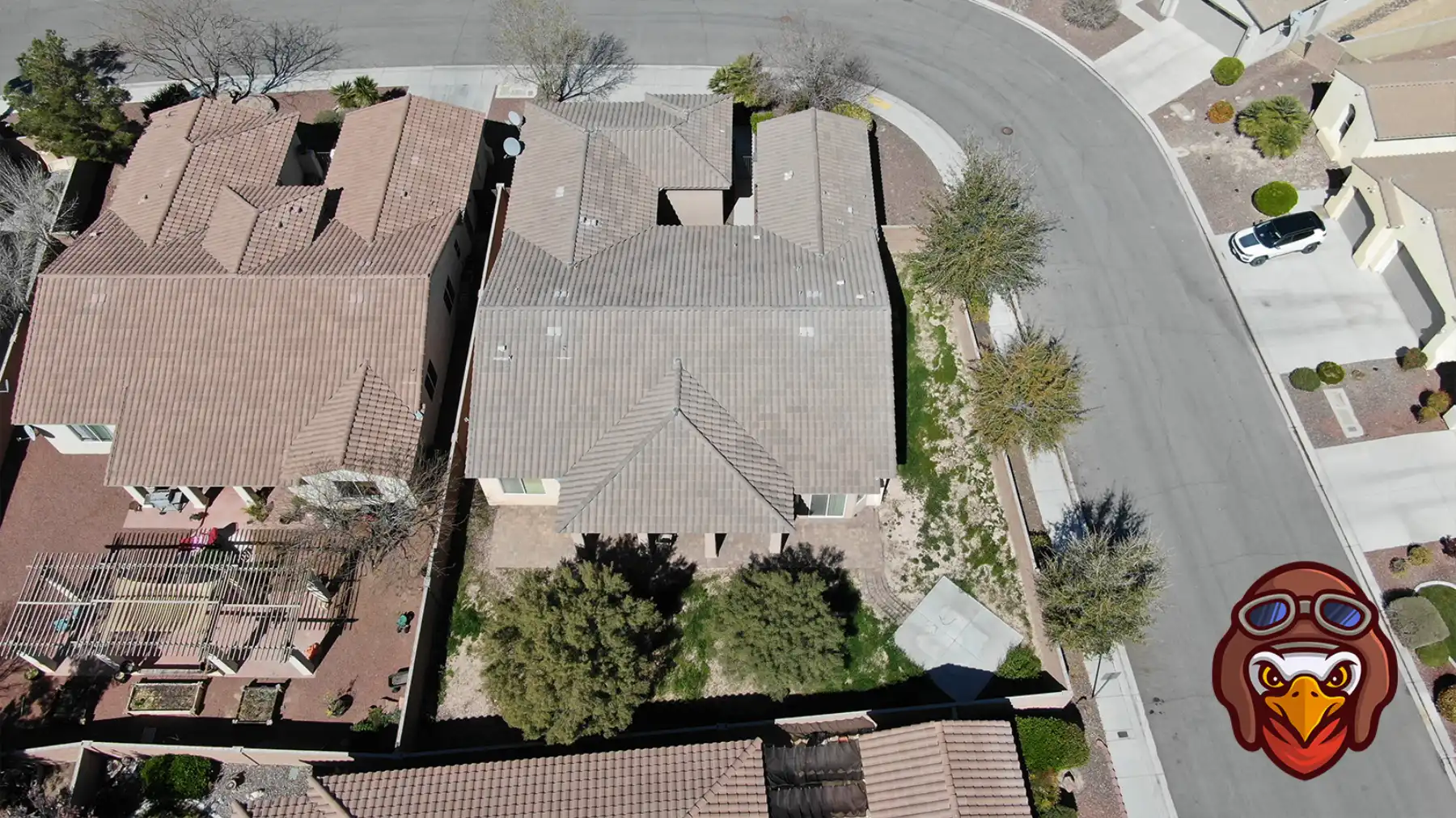
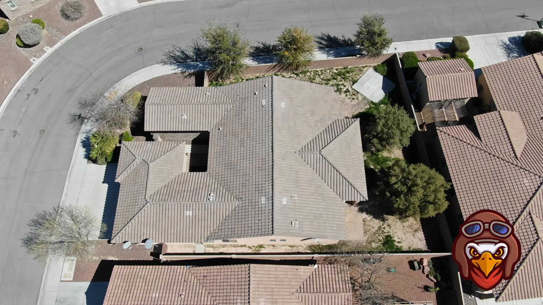
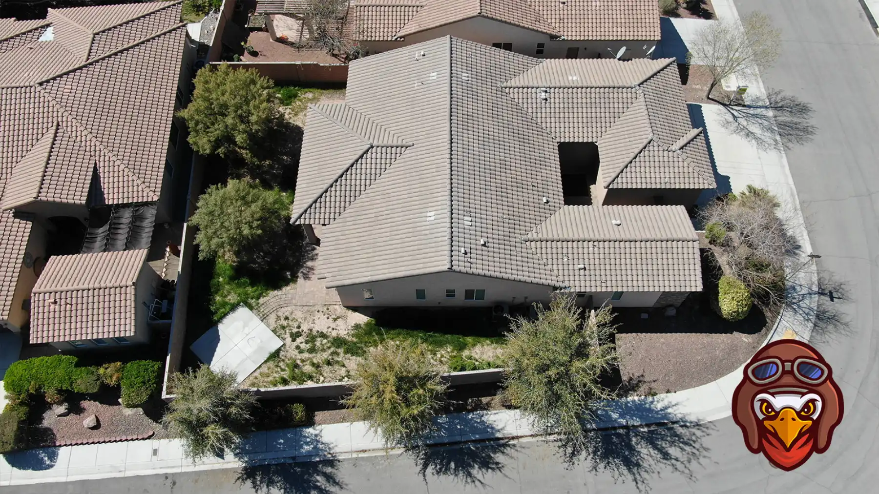
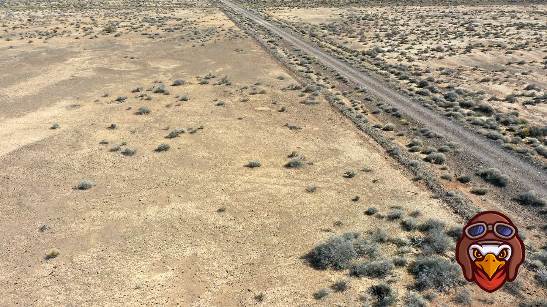
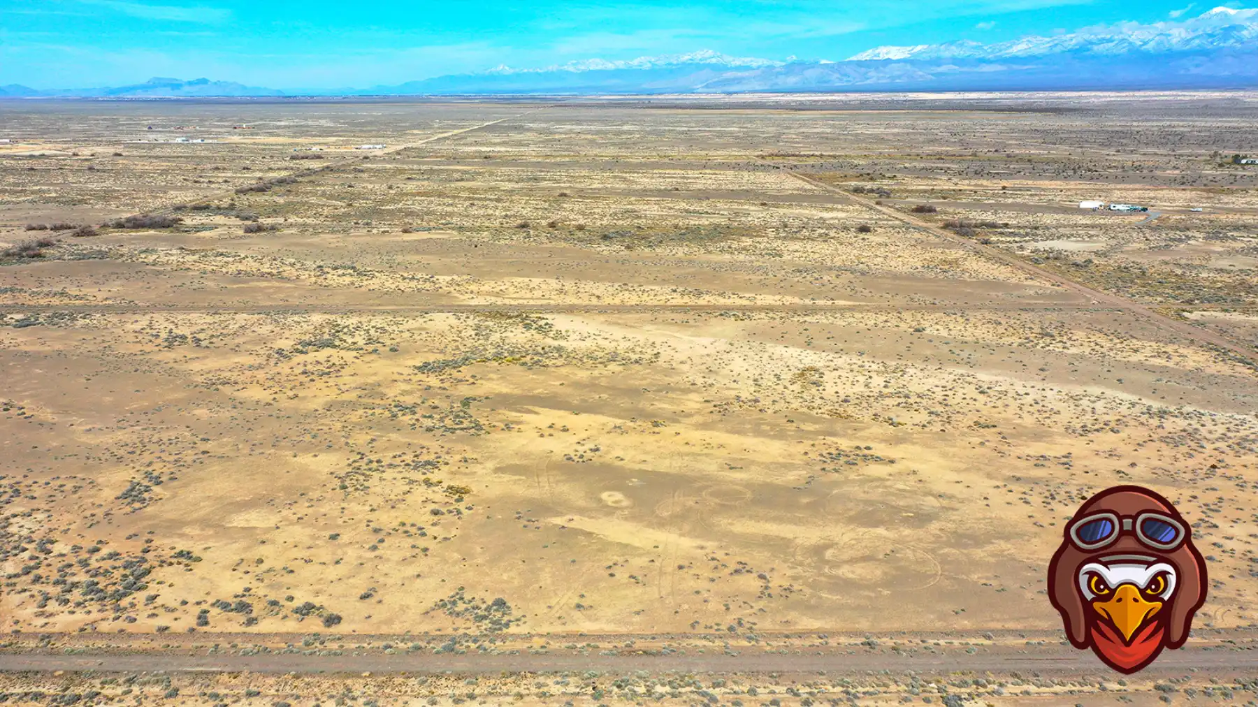
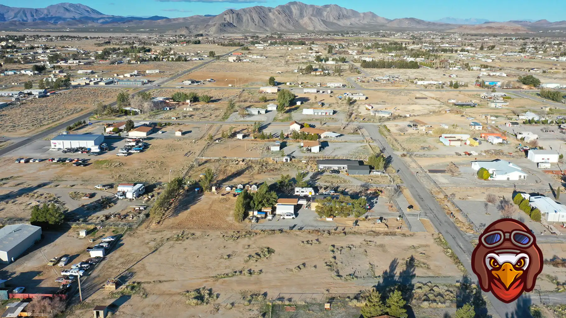
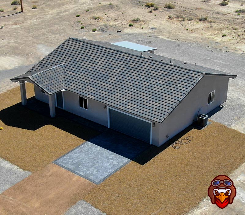
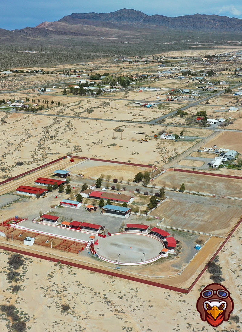
Our drone services company can capture high quality pictures for your real estate listing.
We serve Sandy Valley, Lincoln City, Charleston View, and Jean. Our drone pilot has 10+ years of flight experience ensuring your mission is completed on-time.
$75 | 12 Images
8 images at 100 feet from compass angles, 1 overhead, and 3 close up images.
$110 | 25 Images
8 images at 100 feet from compass angles, 8 images at 400 feet from compass angles, 1 overhead, and 8 close up images.
Gallery
Parcel Outlines for Your Real Estate Listing
Elevate Your Listing
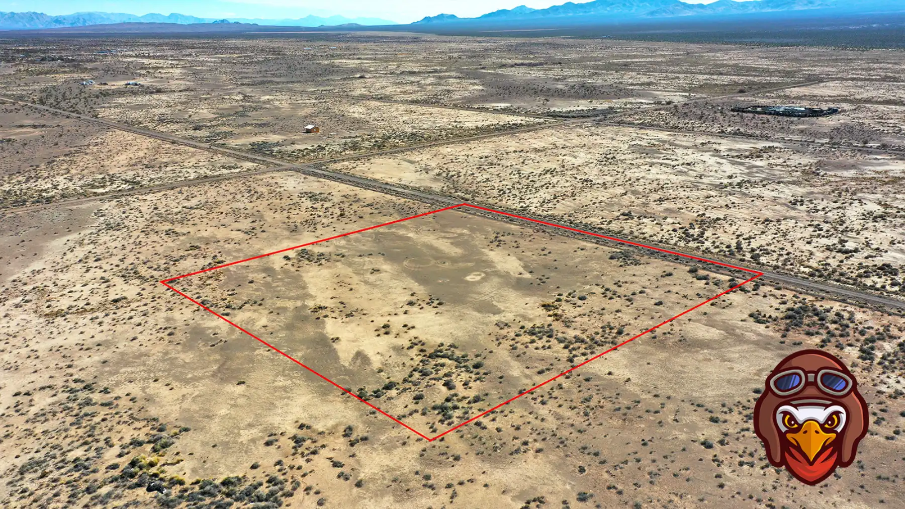
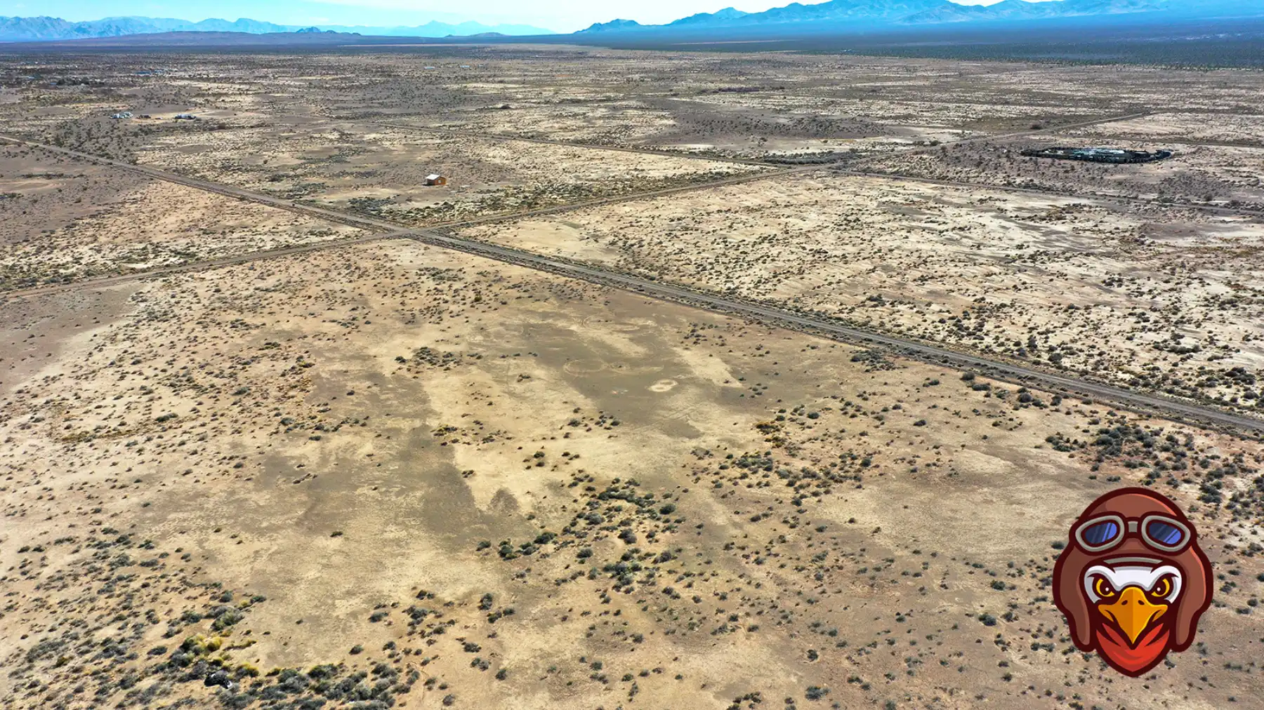
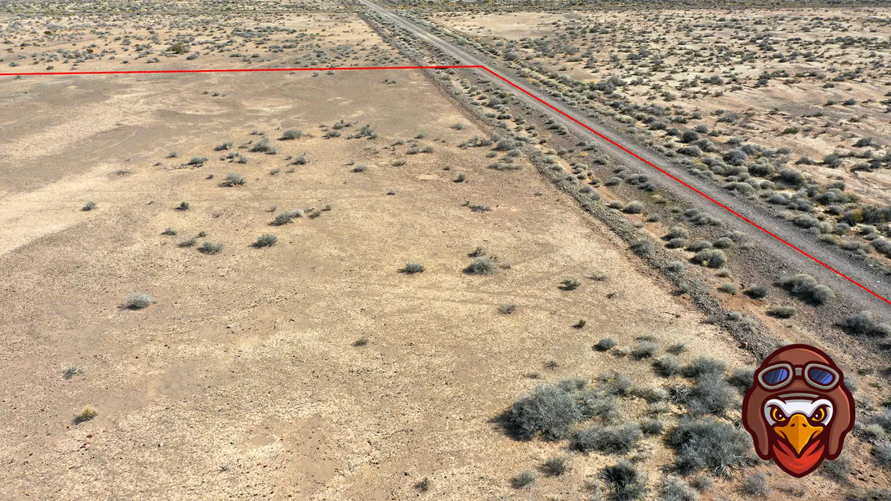
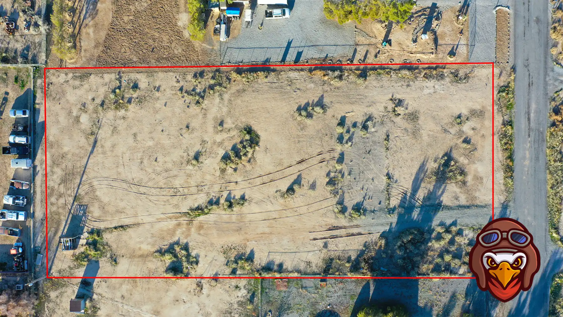
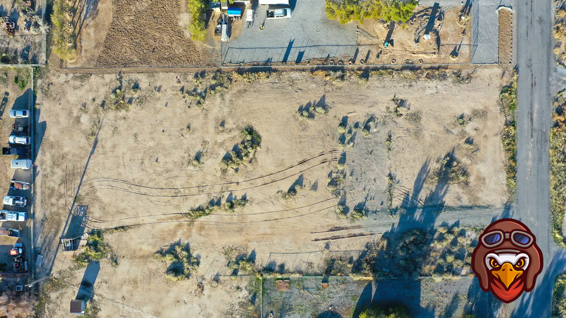
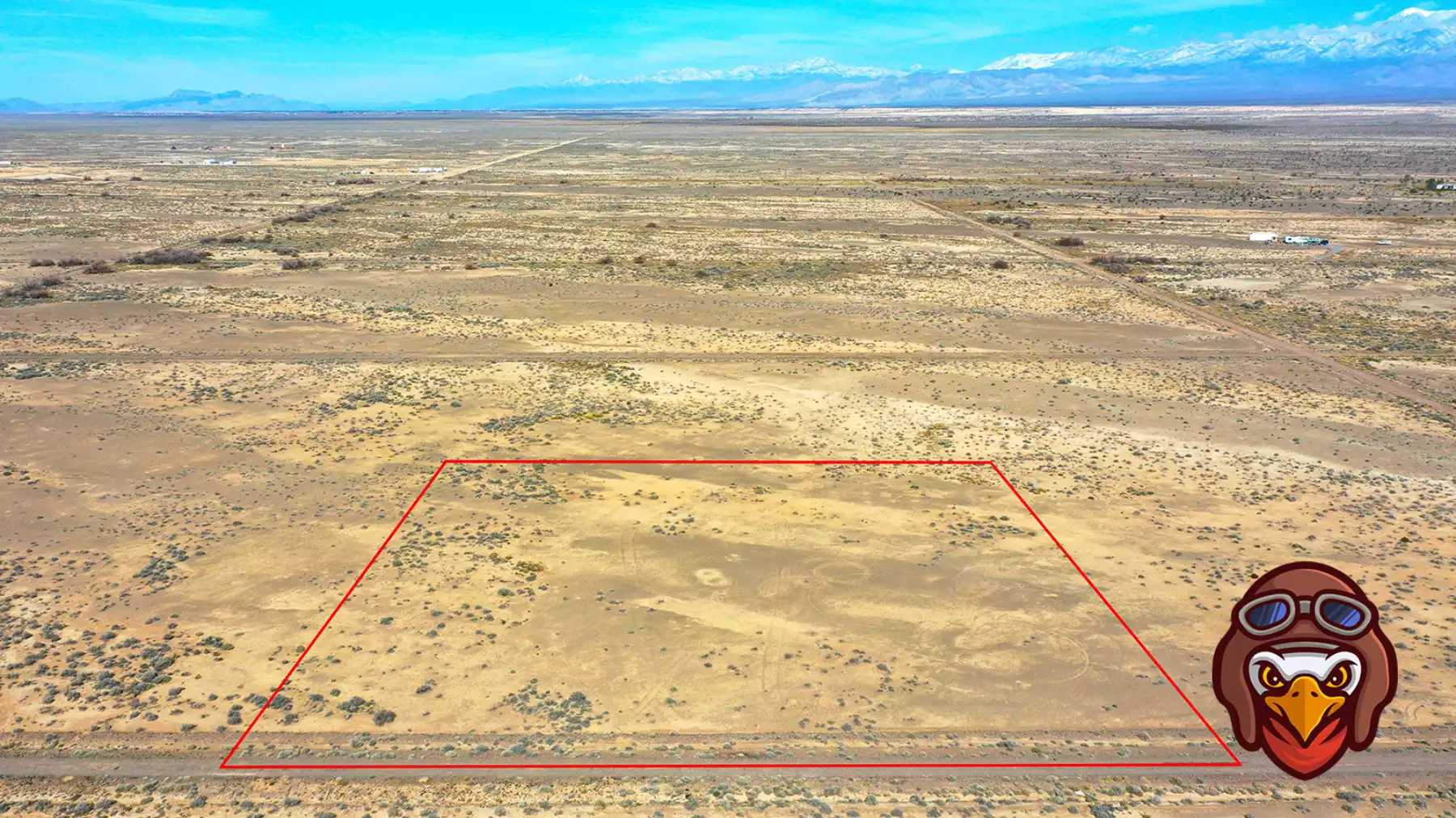
Outlines appearing on our real estate listing aerial images help real estate agents and prospective buyers identify the property boundary. In addition to our high quality aerial images, we provide duplicates that contain property / parcel outlines.
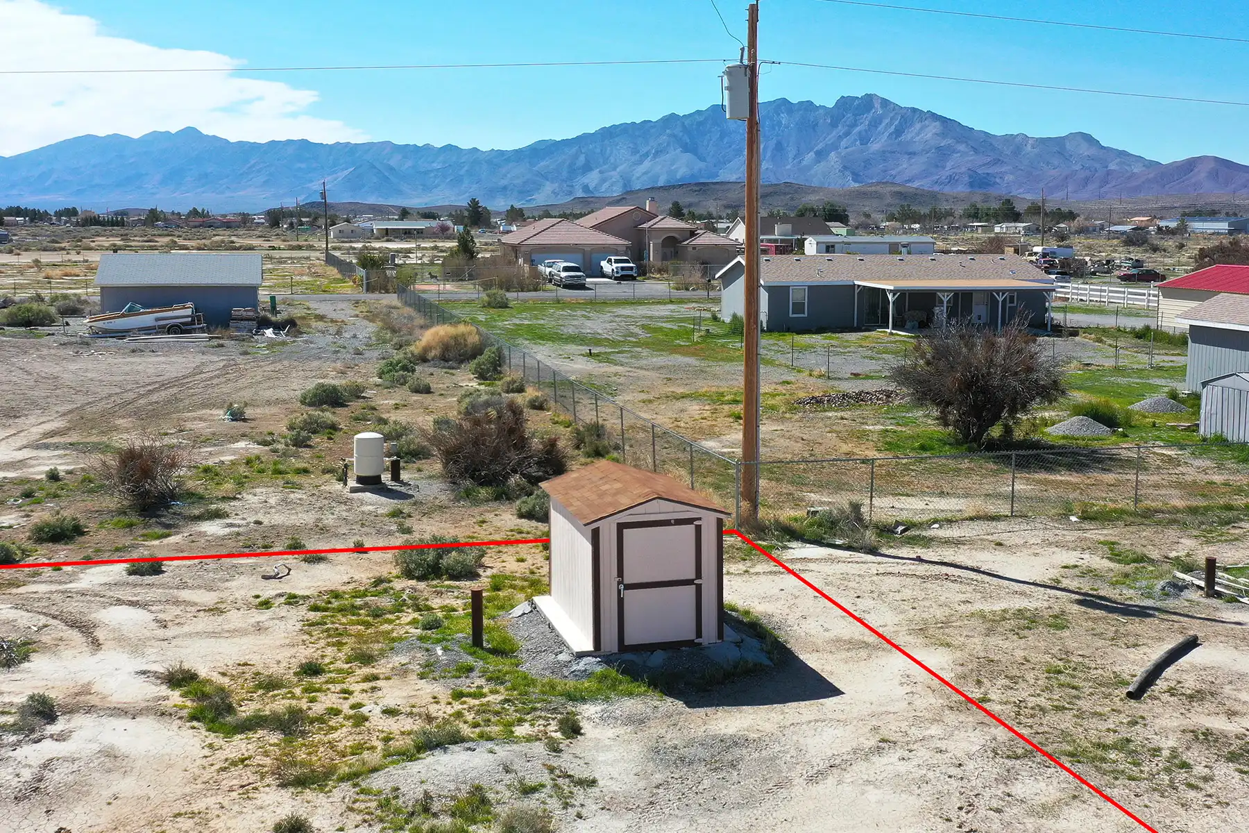
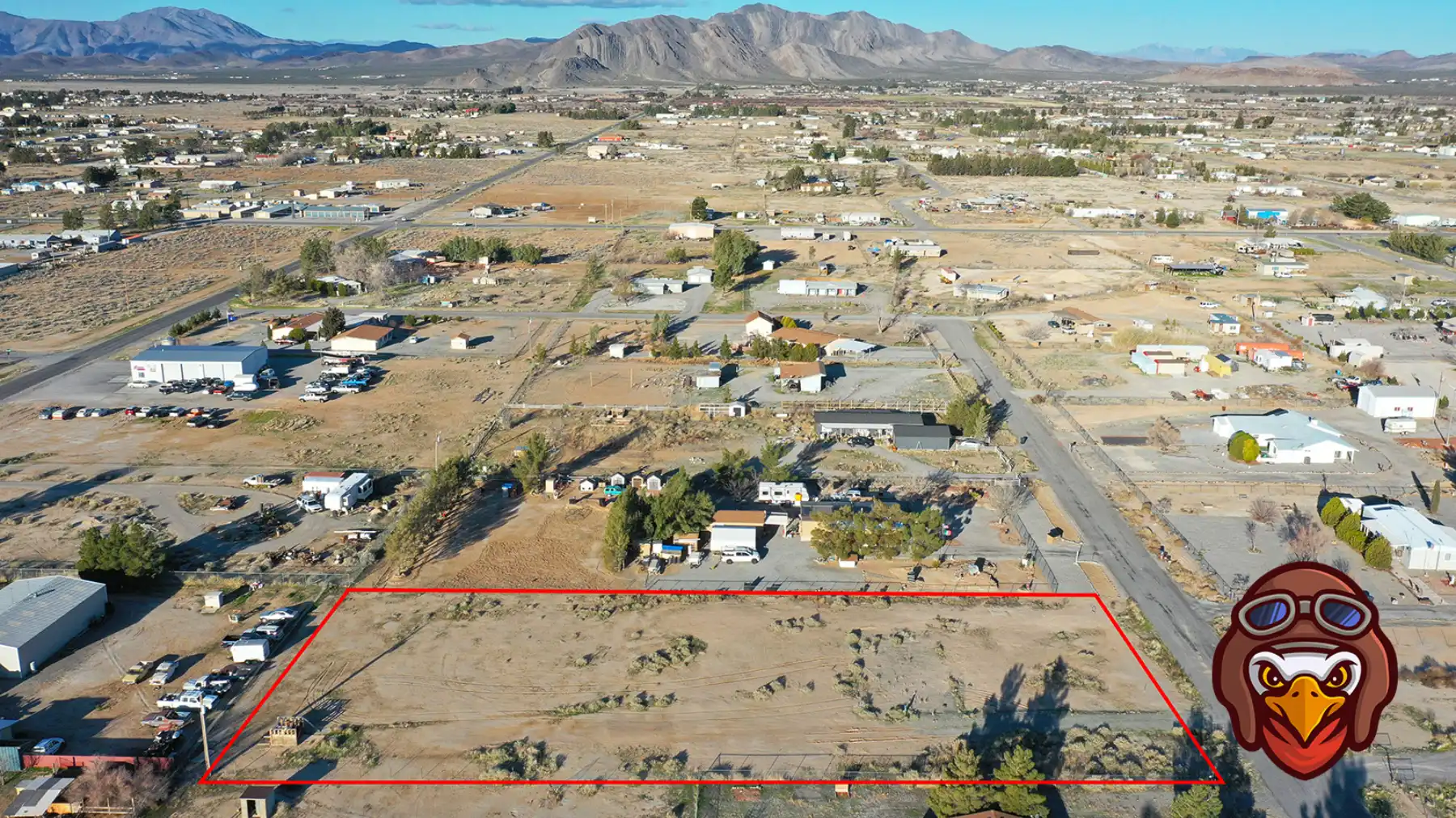
Property outlines can also help our clients identify other aspects of a property such as water wells, power sources, driveways, etc.
Locally Owned & Operated in Nevada
In need of aerial images in Sandy Valley, Nevada? Give us a call today!

